Android version of Planimeter has been updated to v4.5.3 with a KML sharing fix. Now KML files, shared from Planimeter via Google Drive, can be opened directly from the Drive.
Also in the mobile version of Google Earth you can use Google Drive option to open synced files.
Now when you try to view Planimeter KML file from a file browser or email client, Planimeter will be offered as a viewer.
With this update you can be more efficient and productive with Planimeter and view measurement results shared by coworkers and friends directly from an e-mail attachment.
Export KML files and import them into Google Earth application is possible in previous version of the app.
*Correct work with KML files generated in other apps is not guaranteed.
We are looking forward to your feedback, comments and suggestions.
Android: Planimeter has been updated with a new feature that helps you to add points on the map using exact addresses of different locations and estimate distance between points and total travel distance. You can also map your favorite addresses on the map and save or export it as KML file.
Use LONG touch on My Location button to add pins on the map using address dialog (see video).
This video demonstrates how to manage your measurements using Save and Open features in recently released Planimeter - GPS Area Measure app on iOS.
This functionality is very useful not only for saving your area and distance measurements but also can be very handy for storing your favorite locations to visit later again or to map an initial spot you want come back to (e.g. to find your car, property, house, park, tent, tree, etc.)
Planimeter - GPS Area Measure is our mobile application for different land measurements on maps using Geo-coordinates, Satellite view with manual touch or GPS tracking. The app can be applied in such areas as farming, road building and repairing, construction and planning, solar panel installation, real estate business, hiking and travel and many others.
"Planimeter - GPS area measure" app for Android has been updated with a fix for Geo-coordinates format recorded in KML file.
Now when clicking on a pin in Planimeter KML file ( imported into Google Earth or Google Maps), you can see correct DMS coordinates of a point along with related measurement information.


 Planimeter update v4.5.0 for Android allows you to use the app as a KML viewer* and share files more comfortable.
 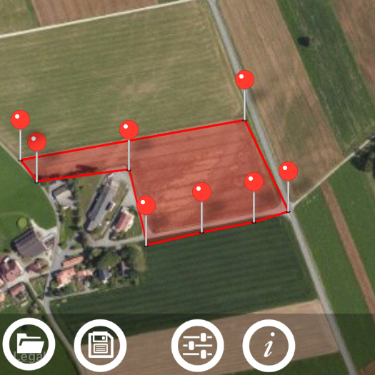 This video demonstrates how to manage your measurements using Save and Open features in recently released Planimeter - GPS Area Measure app on iOS.